I rode the Red Bandana 200k permanent route today. Vickie and Pam were doing the 100k version of this route, but Charlie, the only other rider who was going to do the 200k route, cancelled, so I rode a bunch of miles by myself.
This route starts in Alvarado and goes south out to Whitney, then crosses the lake, and comes back north. My Garmin shows 3,790 feet of climbing on the route. If you saw that, you would call it a route without a lot of climbing, but the 39 mile stretch between the 3rd and 4th controls has enough climbing to make up for the rest of the route. The last time I rode this route, I blew myself up with too fast a pace before I even got to the tough stretch. Today, I was determined to pace myself better, and stayed with Pam and Vickie for the first 31 miles, enjoying the easy pace. The control at mile 31 is where they turned around, so I was on my own after that.
The tough stretch travels north on the rolling hills of SH 56 from Kopperl to Brazos Point. Those hills will give you a workout. Then, you get to climb Brazos Point Hill. The lower part of Brazos Point Hill is the only steep part, but it always has me in the granny chain ring to climb it. As I was climbing it today, my Garmin displayed, “Auto Paused” (I hate it when that happens). It’s a sure sign that you’re moving awfully slowly.
Next, at mile 90, is Goatneck Hill. I managed to climb Goatneck in the middle chain ring, something I can’t always do, especially at mile 90 of a ride. It was my reminder that riding easier early had helped. Next comes the climb out of Hamm Creek’s valley, heading up to Rio Vista. I also managed to make this long climb in my middle chain ring, but was pretty tired by the time I reached Rio Vista at mile 106.
From there, the ride gets easier again, but I was still pretty wiped out at the end. I ended up with 127.5 miles, and finished the ride in 9:52, not exactly a blistering time, but it was all I had today.
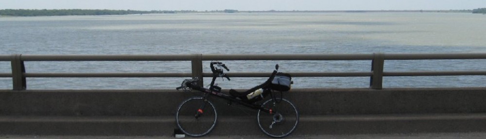
Red Bandana route
